
Spatial Analysis of the 2022 State Deputy Election
A Q&A forum for the UFMG community, developed as a course project for Software Engineering in the first semester of 2025. The main objective of this project is to develop a portal covering questions related to university life, as well as enrollment inquiries and coursework exercises.
Code and results available at https://github.com/carlabferreira/RJ_election_analysis
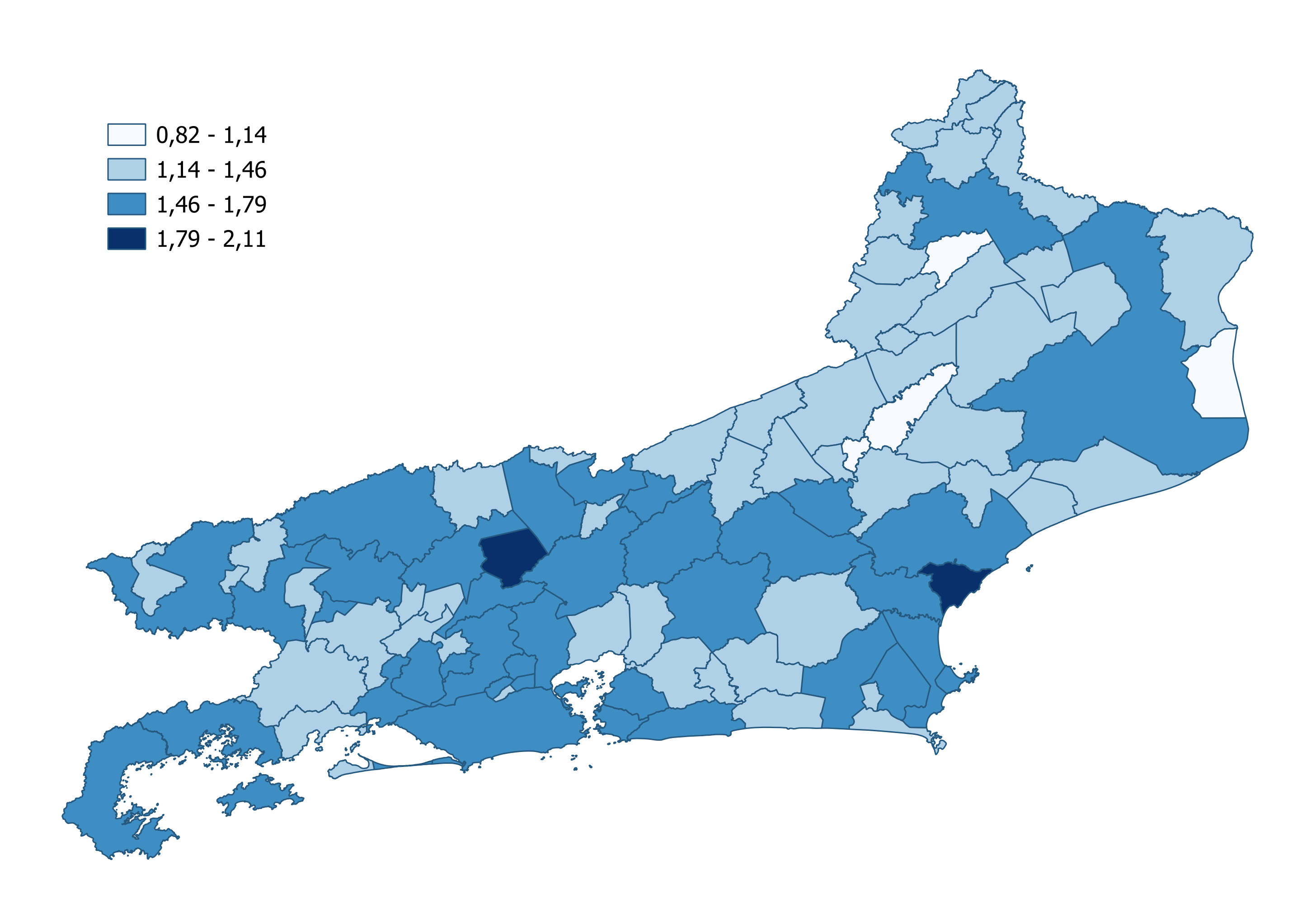
Image: Approximate Percentage of literate people by municipality in the state of Rio de Janeiro
Team Members:
- Ana Luisa Messias Ferreira Mendes
- Carla Beatriz Ferreira
- Clara Garcia Tavares
- Filipe Mauro da Terra Caldeira
Data Sources:
- Election Data: TSE Open Data Portal (Superior Electoral Court) - https://dadosabertos.tse.jus.br/dataset/resultados-2022
- Literacy: 2022 CENSUS (IBGE) - https://www.ibge.gov.br/estatisticas/sociais/saude/22827-censo-demografico-2022
- Public Security Statistics: GOV Open Data - https://dados.gov.br/dados/conjuntos-dados/isp-estatisticas-de-seguranca-publica (Monthly historical series by municipality since 2014)
- Shapefiles: GOV Open Data - https://dados.gov.br/dados/conjuntos-dados/malha-geometrica-dos-municipios-brasileiros (Geometric mesh of Rio de Janeiro municipalities in 2010)
Some of the conducted analyses include:
- Comparison between politically aligned groups
- Regionalized spatial autocorrelation
- Correlation between candidate votes and public security data
Technologies Used:
- Python, GeoSQL, PostgreSQL + PostGIS, QGIS
- The conceptual database schema was designed using OMTG (Object-Modeling Technique for Geographic Applications)